BUYER & SELLER GUIDE
Do Homes in Keller, TX Flood? Flood Zones and Insurance in 76248 and 76244
OCTOBER 28, 2026 · BY AARON KINN · KELLER, TEXAS
Most of Keller sits outside the mapped floodplain, but “most” is not “all.” Big Bear Creek runs through the heart of the city, and a meaningful slice of homes in both 76248 and 76244 sits inside FEMA-designated flood zones. If you are buying, the real question is not “does Keller flood?” but “does this home flood?” Here is how to find out before you write an offer, and what the answer costs.
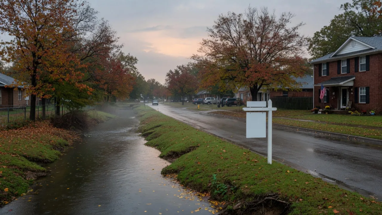
The Short Answer: Yes, Parts of Keller Are Mapped Flood Zones
Parts of Keller are inside FEMA’s mapped flood zones, and most of the city is not. Keller’s current flood map is the post-2021 FEMA update, which supersedes older letters of map amendment and elevations certified before the update. Special Flood Hazard Areas, the 1-percent-annual-chance zones FEMA labels A or AE, sit along Big Bear Creek and its tributary corridors. Outside those corridors, most of the city is mapped Zone X, which FEMA classifies as minimal risk. That is why the answer to “does Keller flood?” changes block by block, and why the only number that matters is your address.
The good news for most buyers: the majority of homes in 76248 and 76244 will never carry a flood insurance mandate. The honest news: a fringe of properties, many of them lovely and elevated, sit close enough to the water that the maps, the premiums, and the resale conversation all change. Both are normal parts of shopping in Keller, and both deserve the same ten minutes of homework before you offer.
Where the Flood Zones Actually Sit: Big Bear Creek and the 76244 Greenbelts
Big Bear Creek is the defining feature of Keller’s floodplain. Its greenbelt, a little over 36 acres of open space with roughly five and a half miles of trail, bisects the city from Keller Sports Park near Chisholm Trail east to Bear Creek Parkway at Lakeridge Drive in Hidden Lakes, passing Bear Creek Park, Milestone Park, Keller Town Hall, The Keller Pointe, and Lakes at Town Hall along the way. That creek corridor is the city’s main mapped floodplain, and the City of Keller’s flood safety page puts the warning bluntly: Bear Creek can rise to dangerous levels in as little as an hour during heavy storms. Creek overflow onto yards, streets, and low-water crossings in Keller was captured by local news in May and June of 2019, and the Big Bear Creek Greenbelt pages document the corridor in detail.
The picture in 76244 is quieter but still worth knowing. The flood-prone corridors on the north side of the city ride smaller tributaries and city-designated open-space and linear parks, including Little Bear Creek, the undeveloped Shady Grove Linear Park, and greenbelt segments along Pate-Orr, Bourland, Johnson, and Mt. Gilead roads. Much of that land is open space rather than rooftops, but a home backing up to one of those corridors changes the insurance math and the resale conversation. Independent flood modeling by First Street flags modeled risk on some properties near the corridor that sit outside the official map, including roughly 30 of the 143 properties around Keller Town Center, so treat the official map as the floor of your research, not the ceiling.
What the FEMA Zones Mean (and the Truth About the 100-Year Flood)
Zone A or AE means the land sits in a Special Flood Hazard Area, a 1 percent annual chance of flooding, FEMA’s benchmark for its highest-risk mapping. Zone X means a 0.2 percent annual chance, what FEMA calls moderate-to-low risk, and homes outside any mapped zone face the lowest modeled exposure. The zone describes the land, not the house: two homes on the same street can fall on different sides of the line, and homes are often built above base flood elevation even inside a mapped zone.
The “100-year flood” language gets misread constantly. It is not a once-a-century event. It means a 1 percent chance in any given year, which works out to roughly a one-in-four chance over the life of a 30-year mortgage. That is a different risk picture than the name suggests, and it is exactly why FEMA and lenders treat the mapped zones seriously. For a sense of the stakes, FEMA’s FloodSmart program puts the damage from just one inch of water in an average home at about $25,000, before the mold math even starts.
Flood Insurance: When It’s Required and What It Costs in Texas
When is it required? A home in a Special Flood Hazard Area, any zone starting with A or V, financed with a federally backed or regulated mortgage (FHA, VA, USDA, or a conventional loan sold to Fannie Mae or Freddie Mac) must carry flood insurance before closing. Federal law requires it, and your lender enforces it: the policy has to be in place at the closing table, and it is separate from homeowners insurance. Cash buyers and buyers using unregulated financing are not under the same mandate, though most still choose the coverage.
What does it cost in Texas? FEMA’s own figure for the average annual National Flood Insurance Program premium in Texas is about $779, and independent analyses land in the same neighborhood, roughly $780 to $790 a year. Premiums in the high-risk A and V zones average about $1,021 a year. Under FEMA’s newer Risk Rating 2.0, each policy is quoted individually based on elevation, distance to water, building type, and claims history, so Texas quotes can stretch from a couple of hundred dollars to $5,000 or more. The NFIP caps building coverage at $250,000 and contents at $100,000; private flood policies are available beyond those limits and sometimes cost less.
The gap to remember: a standard Texas homeowners policy does not cover flood damage. The Texas Department of Insurance says it plainly: rising water from a creek, heavy rain, or storm surge is excluded. Flood is a policy you buy on purpose, not a line item that comes with the deed.
Why the Flood Zone Matters for Value, for Sellers, and for Your Monthly Budget
For buyers, the zone shows up in three places: the insurance premium you will carry, the resale pool you will sell into, and the comparable sales an appraiser will use. A creekside home with an elevation certificate and a clean history is a different asset than the same floor plan in the middle of the neighborhood, and pricing needs to know the difference. When I value properties near the greenbelt, I weight those comparables carefully; nothing distorts an estimate faster than mixing elevated, mitigated homes with homes sitting at base flood level.
For sellers, honesty is the cheapest marketing. The Texas Seller’s Disclosure asks directly whether the property has ever had water inside, and hiding a known flood history is the kind of shortcut that comes back as a problem at closing, not a conversation. Answering the flood questions straight, and sharing the elevation certificate and insurance history early, is exactly what keeps a deal together.
For the monthly budget, flood insurance is a line item like any other. At the high-risk average of about $1,021 a year, the premium is roughly $85 a month on top of mortgage, taxes, and homeowners insurance. On a Zone X home the premium is far smaller, often a couple of hundred dollars a year for voluntary coverage. Either way, the number belongs in the budget before you pick the house, not after closing. We walk through the full stack of ownership costs in the real monthly cost of homeownership guide.
The Buyer’s Checklist: 7 Things to Check Before You Offer
1. Pull the FEMA map for the exact address.
Check the address free on the FEMA Flood Map Service Center. Search by address, not by zip code, and use the current effective map, not the one from the last sale.
2. Read the Seller’s Disclosure for flood history.
Texas sellers answer whether the property has ever flooded and whether it sits in a floodplain. If the answer is yes, you want the details: when, how deep, and what was done after.
3. Ask for the elevation certificate.
Homes in or near a mapped zone often have one. It shows how the structure sits relative to base flood elevation, which drives both your premium and your peace of mind.
4. Get an insurance quote during the option period.
An agent or insurer can quote an NFIP policy from the address in days, so you never have to guess at the premium. The option period is the right window for it; the option period guide walks the whole window.
5. Walk the drainage with your inspector.
Grading away from the slab, gutters and downspouts that carry water away, a sump pump if one exists: the inspection covers all of it. Water pooling against the foundation is the top environmental trigger for foundation movement, so this matters far beyond the floodplain question.
6. Look at what surrounds the greenbelt.
Is the home above the street? Is the creek corridor maintained and free of blockages? Is there a low-water crossing on your daily route? Visit on a wet weekend; rainy Saturdays tell you more than sunny weekdays.
7. Price the home with the zone in mind.
Your offer should account for insurance, elevation, and mitigation, not just square footage. If a creekside home is priced exactly like its non-floodplain neighbor, that is a conversation worth having, and we run that math before you write the offer.
If you are shopping near any of these corridors, the 76248 guide and the 76244 guide map where the greenbelts, parks, and schools sit relative to the neighborhoods you are looking at.
Frequently Asked Questions
Does every home in Keller require flood insurance?
No. Flood insurance is required only when a home sits in a FEMA Special Flood Hazard Area, a zone beginning with A or V, and the buyer uses a federally backed or regulated mortgage, including FHA, VA, USDA, and conventional loans sold to Fannie Mae or Freddie Mac. Homes mapped in Zone X, which covers most of Keller outside the creek corridors, are not subject to the mandate, though you can still buy a policy voluntarily for relatively little.
Does homeowners insurance cover flood damage in Texas?
No. Standard Texas homeowners policies exclude rising water from creeks, heavy rain, and storm surge. Flood is a separate policy you buy on purpose, most commonly through the National Flood Insurance Program (NFIP) or a private flood insurer. A burst pipe or sewer backup, by contrast, is usually covered by your regular policy; that is a different kind of water damage.
How much does flood insurance cost in Texas?
FEMA's own figure for the average annual NFIP premium in Texas is about $779, and most independent analyses land in the same range, roughly $780 to $790 a year. Premiums in the high-risk A and V zones average about $1,021 a year. Under FEMA's Risk Rating 2.0, premiums are priced per property, so Texas quotes can range from a couple of hundred dollars to $5,000 or more depending on elevation, building type, and claims history.
Can you still buy a home in a Keller flood zone?
Yes, and people do it every day. Many creekside Keller homes sit well above base flood elevation, carry elevation certificates, and have never had a water claim. The key is eyes-open diligence: check the FEMA map, read the disclosure, verify an elevation certificate, get an insurance quote during the option period, and price the home accordingly. The flood zone is a fact to manage, not automatically a reason to walk.
What does a 100-year flood actually mean?
A 100-year flood is the 1 percent annual chance flood, FEMA's benchmark for its highest-risk zones. The name does not mean once a century: there is a 1 percent chance in any given year, which works out to roughly a one-in-four chance over the life of a 30-year mortgage. That is exactly why the insurance mandate exists, and why flood maps get re-studied and updated.
The Bottom Line
Flood risk in Keller is a specific, address-level question with straightforward answers: most of the city is Zone X, the Big Bear Creek corridor and parts of the 76244 greenbelts are mapped Special Flood Hazard Areas, insurance is required for financed homes in those zones, and a Texas policy averages from a few hundred to a bit over a thousand dollars a year depending on risk. None of that is a reason to panic, and some of it is a reason to negotiate. All of it is a reason to check before you offer rather than after.
I run the flood map check on every offer I write, and I will pull it for you before we look at a single house. If you are shopping in Keller, Southlake, Trophy Club, or anywhere along the greenbelt, and you want the honest map-and-math rundown for a specific address, let’s talk.
Sources and a Note on the Numbers
The flood-hazard geography draws on the City of Keller’s Flood Awareness and Safety page and its Big Bear Creek Greenbelt pages; zone definitions and the insurance mandate come from FEMA’s Flood Map Service Center and FloodSmart materials; the exclusion of flood from standard homeowners policies is from the Texas Department of Insurance; and independent modeling by First Street informed the risk estimates near the greenbelt. Premium averages are FEMA and third-party estimates that change under Risk Rating 2.0, so treat them as direction and confirm the final quote for your specific address before you rely on it. Keller’s flood map was updated after 2021, so always check the current effective map.
Want the map pulled and the numbers run for the address you are watching? That is a ten-minute conversation with no obligation, Book a Free Buyer Consultation

Written by

Aaron Kinn
Broker Associate, Team Leader, eXp Realty, LLC · A.I. Certified Agent™
For 25 years I have helped buyers and sellers across the Dallas-Fort Worth Metroplex, with Keller as home market.
Areas I Serve Across Keller
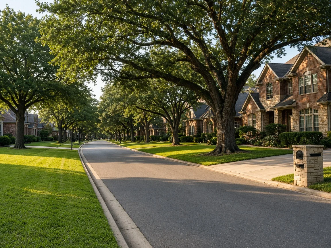
Keller
Established neighborhoods in 76248 and newer construction in 76244, with mature trees and a walkable town center.
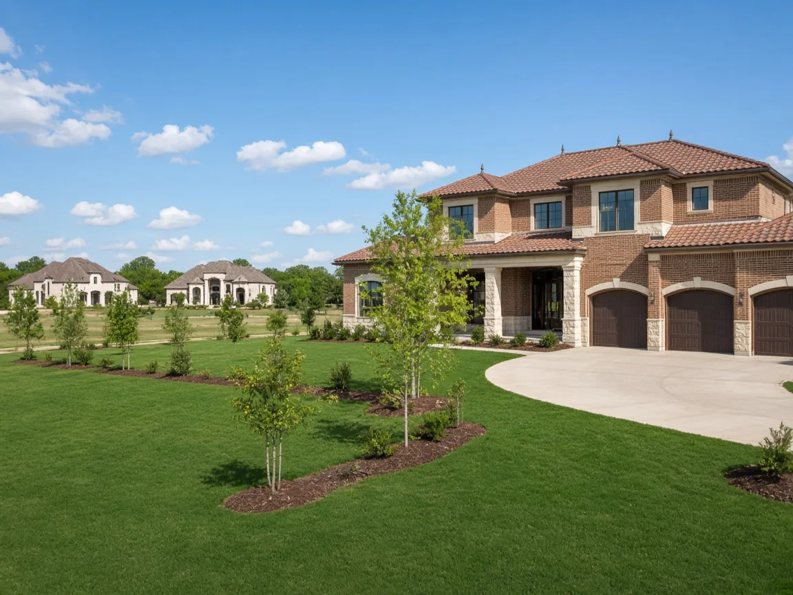
Southlake
Large brick and stone custom homes on generous lots around Southlake Town Square.

Westlake
Gated estate communities with large custom homes on acreage lots.
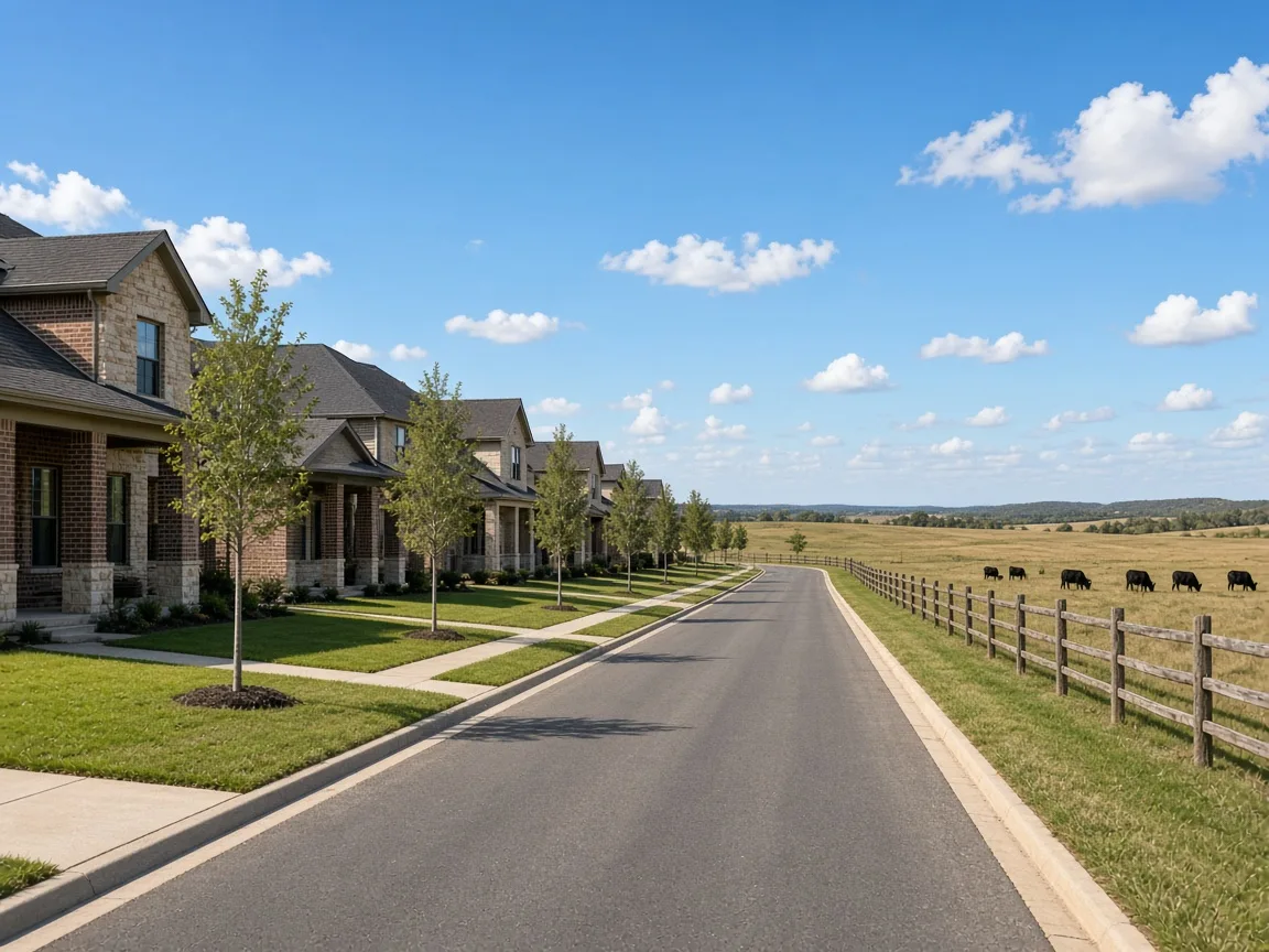
Northlake
Newer master-planned communities beside preserved ranch land along the Alliance corridor.
WORK WITH ME
Buying or Selling in Keller?
Whether you are buying or selling, the first step is a simple, no-pressure conversation.
817-939-6584 · No pressure, no obligation.
Written by
Aaron Kinn
Founder and lead advisor of The Kinn Team, serving buyers and sellers across North Texas with Keller as home market. He has guided more than 3,100 families through their moves, and he runs the flood map and insurance check on every offer he writes.